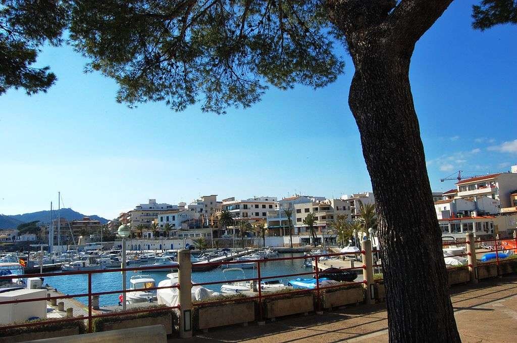
Na Patana

Na Patana or Punta de na Patana is situated at 14 kilometres from Santa Margalida, between Punta des Fenicis, ses Pedreres and Arenal de ses Assussenes. This small corner and the triangular headland are characterized by the limestone platforms, and they have a low coastline, are not very deep, they are rocky and are not very populated. The system of dunes (Àrea Natural d’Especial Interès Dunes de Son Real: area of 1.114 hectares coastal strip which is two kilometres large and five kilometres long, including the wetlands of the torrents of Son Real and Son Bauló-, protected by the Parlament de les Illes Balears since 1991), as well as the thick and virgin pine wood in the village (Pinar des Revellar) that continue at the rear of this coastal corner. From Punta de na Patana you can walk to visit the necrópolis de Punta des Fenicis (dated from the 8th century BC), unique and formed by some hundred aristocratic tombs, some of them are small talaiots or navetes. You can also visit the rests of the batería de Son Bauló (18th century), located on the western end of Arenal de ses Assussenes. The marine and underwater conditions are not good for anchoring boats and approach with too much swell and wind toward land, because next to the coast the ground is not very deep and there are some flagstones. The nearest port facilities are located at Port Esportiu de Can Picafort. Information about this beach may change. To confirm the data or consult changes or new features, please contact the municipal tourism office below: Tourist Information – Can Picafort General information on the island: Tourist Information – Mallorca
