
Es Grau
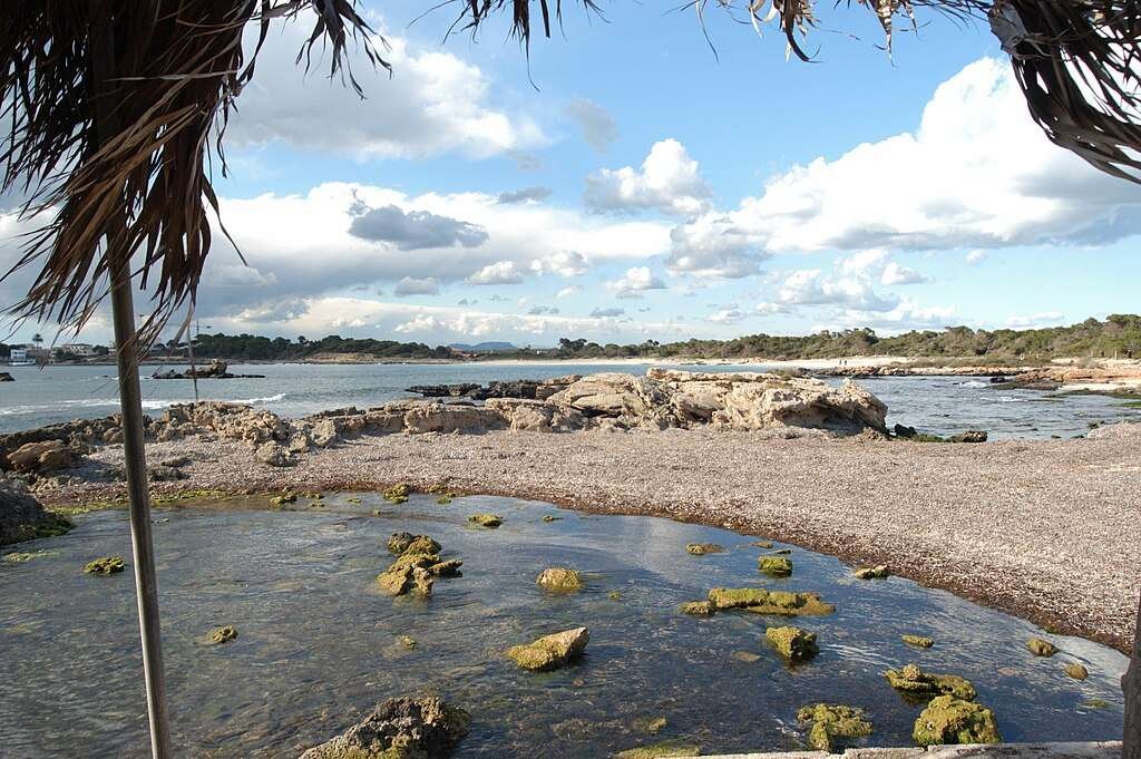
Es Grau is a coastal stretch located next to the coastal village with the same name and Parc Natural de s’Albufera des Grau (70 hectares of free water area from Cala des Grau until Cap de Favàritx-, a lake which is two kilometres long, 1,5 metres deep, and the most important wetland in Menorca, so that the Unesco declared it Reserve of the Biosphere in 1993), located between Punta de sa Cudia and de Fra Bernat, and in front of its coast you can see the big Illa d’en Colom. This beach is situated at 9,5 kilometres from Maó. This sea inlet is the origin of a shell shaped coast that includes Platja and Cala des Grau. It is characterized by having a big size, a sandy beach with an orientation toward northeast, gentle wind and calm water, thanks to the protection of s’Illa d’en Colom (44 metres above the sea level), and it is surrounded by thick scrubland. The marine and underwater conditions for anchoring boats are only good in Cala es Grau if the draught is less than 3,5 metres. In the southern area there is a rocky platform, at 60 metres from the coast there is a depth of 1,5 metres. S’Illa d’en Colom and the strait between this and Menorca can only be navigated with small boats and if you want to pass it you have to do it at four hectometres to avoid the flagstone des Cap de Mestral. Information about this beach may change. To confirm the data or consult changes or new features, please contact the municipal tourism office below: Tourist Information – Menorca